We drove south from Kona thru Kailua-Kona (ocean front) and Captain Cook then inland.


We turned eastward as we went through Ocean View, then got a great view of the ocean from Naalehu as we headed north and into the Hawaii Volcanoes National Park (took about 2 1/2 hours). HVNP is a 330,000 acre park and home of the Kilauea volcanoe, one of the most active volcanoes on earth. It has been erupting since 1983 and over 500 new acres of land have been created by lava.
We immediately went to the Kilauea Visitors Center, got a map of the park and checked out information on ideas regarding what to do at the Park depending on the amount of hours you plan on spending there. We decided on a plan and took off to the Jaggar Museum. On the way to the Museum we stopped to view the Steam Vents which felt super hot and got our first glimpse of the Halema'uma'u Crater. SO exhilarating!!!


 |
| Steam vents on the side of the hill |
 |
| Hole in parking lot showing steam vents |
On to the Jaggar Museum where we got a closer look at the volcanic gases from the Halema'uma'u Crater. AMAZING!


We grabbed a quick lunch there then went into the HVO. This is the place to be if you LOVE Volcanology!!

 |
| Thermal Imaging |
 |
| Picture of flowing lava |
We drove to the Thurston Lava Tube near the Kilauea Iki Overlook. We walked through lush rain forest until we came upon the 500 year old lava tube. Lava tubes are formed when active lave flow develops a continuous and hard crust which thickens and forms a roof above the flowing lava. It can be active or extinct. After the lava ceases to flow, the rock cools and a cave like channel is created. The Thurston Lava tube was almost a half a mile long.


Time for the big hike. Kilauea Iki. It is described as follows: Descend 400 feet through native rain forest into a crater and hike across the hardened lave lake still steaming from the 1959 eruption. Spectacular views, 2-3 hours, 4 mile loop trail.
So you may be asking, what about the gases from the Halema'uma'a Crater? The best way to describe the location of where we are hiking compared to the erupting gases of the Crater is to look at this map.

The blue lines are the hike around the rim and down and over the crater floor. The orange is where the Crater we viewed at the visitor center is sprewing gases. Yes, that close.
Here is the view from the Kilauea Iki Crater Overlook. We hiked to the right, then down just before that open area in the center, than across the crater floor and up the other side.


The dirt path lead along the rim (had to look down as you walked to watch for roots and stones so as not to trip and go for a really big fall), with, as they said, spectacular views. Scott was a little nervous that whenever there was a lookout or a bench to sit and enjoy the view, there wasn't any kind of guard rail. Rock wall pretty much straight down. We did not see any small children on this path thank goodness, and actually not that many people attempted the hike, which made it even more exciting! Eventually the path turned into a switchback with some stairs as it descended down to the crater floor.


 |
| View of Crater from path |

It is hard to describe what the crater floor looked like..black, lava everywhere. Where do we go now? No noticeable path in the lava but then we saw this sign.


 |
| A view back |
This whole hike was so, so cool! If you are at this park, and are able to hike for 2/3 hours, take this hike! If you can't hike it, go to the Kilauea Iki Overlook, to see the view its amazing.
For a shorter hike there is the half mile Devastation Trail, where you see life returning to an area where the landscape was buried by cinders from the 59 Kilauea Iki eruption.
Can lava be actually seen anywhere? I wondered about this because I noticed the information sheet and map we were give at the visitor center is not updated daily and the information listed for the Chain of Craters road (19 miles from summit rim and ends at 2003 lave flow) is probably not current. It says that if you take this road during the day you might see fumes on the hillside or steam clouds at the ocean. Sometimes after dark flowing lava may be visible in the distance from the road. It said that the trail to the overlook is open 24 hours a day, wear sturdy hiking shoes and take water. This sheet was printed in December 2011.
So then I checked with the daily Volcano watch online. It states that you can not see flowing lava at the current ending of the Chain of Crater road and hiking to Ka'ili'ili area (overlook) is extremely arduous, with uneven, jagged and sharp lava. All skin must be covered with several other precautions listed.
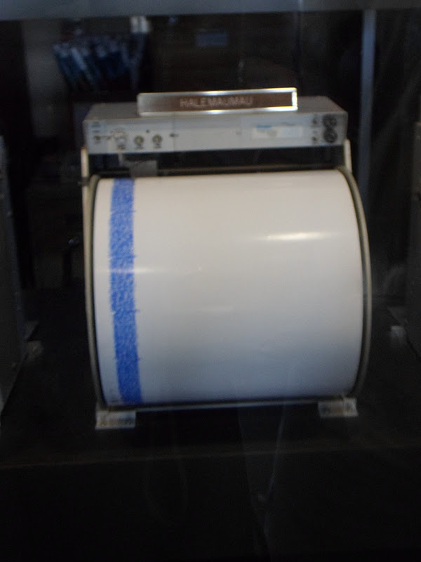
The past 24 hours: overall eruption was slightly elevated. Seismic tremors levels indicate 10 earthquakes took place in and beneath the Kilauea volcano. This shows just how much things have changed in just a couple months, and I don't think its advisable to try and see the lava.
I found this interesting..
Here is a map that shows the lava flow from 1983 to January 2012.

Lava Flow
1983-1986 dark gray
86-92 pale yellow
92-2007 tan
2007-2011 pale orange
eruption March 2011 reddish orange
Mar 2011 - Aug 2011 orange
Sept 21, 2011 - Jan 12, 2012 pink
Jan 12, 2012 - Jan 26, 2012 bright red
Yellow is the lava tube within the active flow.
Normal Park entrance fee is $10.00 per car and the park is open 24 hours.
To Be Continued..
No comments:
Post a Comment